
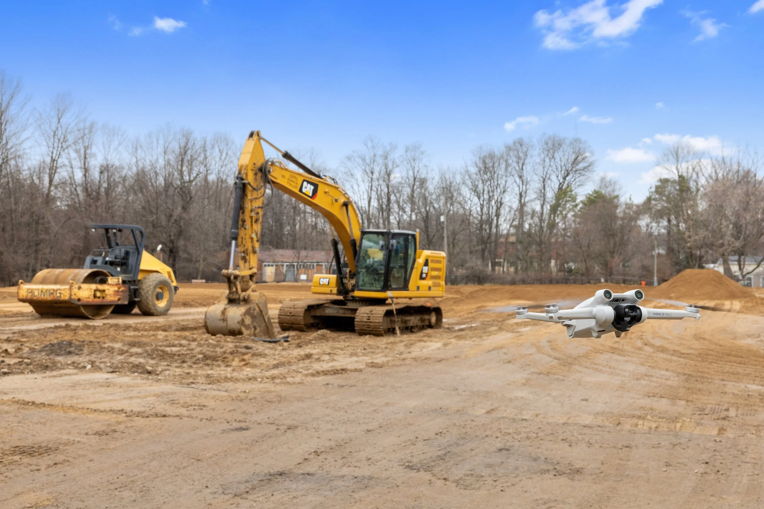
Drone Services
With the help of our licensed drone pilots and advanced software, we can collect massive amounts of data and documentation for you without having to step foot on-site!
Our Drone Services
-

Mapping/Surveying
Collect high-precision aerial data to create detailed maps and 3D models for land surveying, site planning, and development.
-
Progress Monitoring
Regularly track and document construction or project progress with drone photos, videos, and maps.
-

Volumetrics
Use drones to accurately measure stockpile volumes and calculate material quantities for industries like construction, mining, and earthwork.
-

Inspections
Get detailed inspection reports of roofs, towers, buildings, bridges, and other infrastructure and utilities.
-

Photography
Get stunning aerial photos to showcase your property, event, landscape, or business from a unique perspective.
-

Videography
Capture high-quality aerial videos for promoting your real estate listings, memorable event, and your brand/story.
Industries we can help with our drone services include:
Construction
Development
Engineering
Insurance & Risk Management
Mining
Telecommunications
Utilities
Oil & Gas
Agriculture
Earthwork
Marketing
Frequently Asked Questions
Contact Us!
Please contact us below or fill out the form to get a quote or book a project. We always aim to respond within a few business hours.